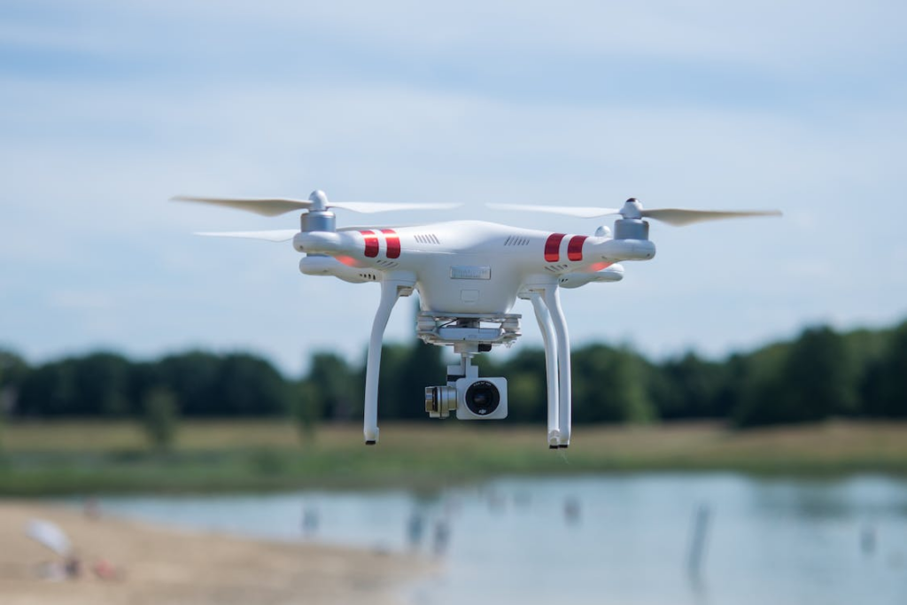
In an era where data-driven decisions are paramount, understanding the lay of the land, quite literally, can provide businesses with unique and valuable insights. Unmanned Aerial Vehicles, commonly known as drones, have become increasingly significant in this aspect.
Drone mapping services, a promising technology within the drone industry, are rapidly transforming the way businesses gather and interpret geospatial data. This post explores the applications and advantages of drone mapping services for industries, highlighting how businesses can make drone investments to gain valuable insights and make informed decisions using aerial mapping data.
From agriculture to construction, real estate to environmental monitoring, drone services are proving to be a game-changer. Moreover, their ability to capture high-resolution imagery and data, even in hard-to-reach areas, provides unparalleled accuracy and efficiency, making them a powerful tool in the digital age.
Join us as we delve into the revolutionary world of drone mapping services, providing a detailed analysis of the drone market, its impact on business insights, and how it is shaping the future of various industries.
Understanding Drone Mapping Services
Drone mapping refers to the use of drones, or unmanned aerial vehicle (UAV), to capture high-resolution aerial images and videos. These are then converted into detailed maps and 3D models using sophisticated software.
Based on data from the Multiple Listing Service, the use of aerial photography is not just a cosmetic upgrade but a strategic investment. The statistics are compelling: homes marketed with the added perspective of aerial imagery are 68% more likely to sell than their counterparts lacking this feature.
The process involves the drone flying by the drone operators or pilots over a specified area following a pre-programmed flight path, known as a waypoint. As the drone moves along this path, it captures images and other data which are later stitched together to create an extensive, detailed view of the area.
Types of drones used in mapping
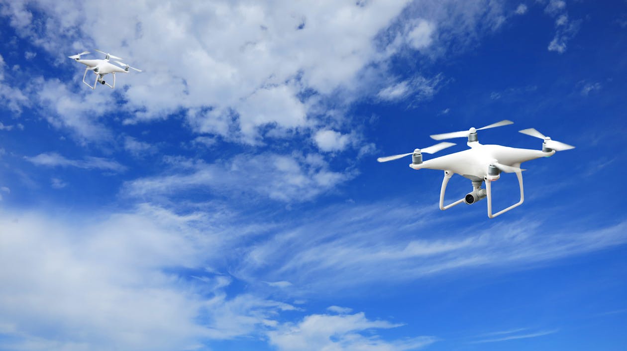
Different types of drones are used in mapping based on the specific needs and objectives of a project. The main types include
Fixed-Wing Drones:
These drones are similar to airplanes in design, providing longer flight times and covering larger distances. They are ideal for mapping large areas such as agricultural fields or forests.
Multi-Rotor Drones:
These drones are the most commonly used for mapping smaller areas due to their ability to hover and make precise movements. They are excellent for detailed surveys of construction sites, real estate properties, or small agricultural plots.
VTOL Drones:
Vertical Take-Off and Landing drones combine the advantages of fixed-wing and multi-rotor drones. They can take off and land vertically like a multi-rotor drone but can fly long distances like a fixed-wing drone.
Types of data gathered by drone mapping
Drone mapping collects a variety of data types to provide a comprehensive view of the surveyed area. These include:
Photogrammetry: This involves the use of numerous overlapping photos to create 3D models of the terrain, structures, or features.
Lidar: Light Detection and Ranging uses a pulsed laser to measure distances and create high-resolution maps of the terrain, even through vegetation.
Thermal Imaging: This captures the infrared radiation from objects to identify heat signatures, useful in industries like agriculture, wildlife monitoring, and energy.
Multispectral Imagery: This collects data from multiple spectrums of light, helping to identify plant health in agriculture or detect water quality in environmental monitoring.
With this variety of data, drone photography, and drone videography services provide invaluable insights, helping businesses to make informed decisions and strategies.
The Revolutionary Role of Drone Mapping Services in Business
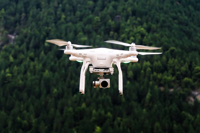
The integration of drone mapping services in businesses has been nothing short of revolutionary. With their ability to capture comprehensive, high-resolution data from an aerial perspective, drones offer businesses a new way to understand and navigate their operational landscape.
This drone technology is redefining business processes, influencing decision-making, and driving performance across numerous industries.
Precision and accuracy of data from drone mapping
One of the key advantages of drone mapping is the precision and accuracy of data it provides. The high-resolution images and Lidar measurements captured by drones can be converted into 3D models and maps that offer intricate detail.
This high level of detail provides businesses with precise information, reducing the risk of errors that may arise from manual data collection or interpretation. In industries like construction or mining, accurate data from drone mapping can significantly enhance site planning, safety measures, and resource management.
The speed and efficiency of data collection
Aerial drone services also drastically improve the speed and efficiency of data collection. Traditional surveying methods can be time-consuming and labor-intensive, particularly for large or difficult-to-navigate areas.
Drones, however, can cover vast areas quickly, even accessing hard-to-reach or hazardous locations, making them a highly efficient tool for data collection. This increased speed and efficiency can lead to significant time and cost savings for businesses.
Real-time data and insights
Another transformative aspect of drone video services is the ability to provide real-time data and insights. Drones can transmit data instantly to operators or directly to cloud-based systems for analysis. This immediate access to data allows businesses to make timely decisions, react swiftly to changing conditions, and maintain a competitive edge in their market.
In industries like agriculture, real-time insights can inform timely interventions, improving crop health and yields. In construction, immediate access to site data can inform decision-making and mitigate potential risks.
Overall, the revolutionary role of drone videography services in businesses lies in their ability to provide precise, efficient, and timely data, empowering businesses to gain unique insights, enhance decision-making, and improve their overall performance.
Applications of Drone Mapping Services in Various Industries
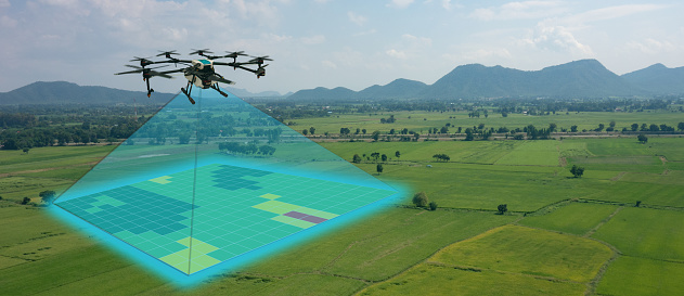
Drone service providers in the commercial drone industry offer numerous benefits and applications across various industries. From construction to agriculture, environmental conservation to urban planning, these drone video services provide unparalleled access to accurate, detailed, and timely aerial data. Let’s delve into the ways in which specific sectors can greatly benefit by utilizing commercial drones mapping services:
Construction and Engineering:
Drone mapping services have made significant inroads into the construction industry and engineering sectors, providing accurate and up-to-date aerial surveys, 3D mapping, and progress monitoring.
These aerial drone services help in project planning, carrying out site inspections, and improving resource allocation. Drone mapping technology can also assess the suitability of a construction site, monitor the progress against the projected timelines, and provide real-time updates about possible challenges or changes needed in the plan.
Additionally, these services significantly enhance safety measures by identifying potential hazards on construction sites before they pose a threat to human workers.
Agriculture and Farming:
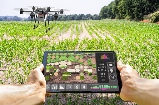
In the agricultural sector, drones have been instrumental in advancing precision agriculture techniques such as crop monitoring and yield estimation. Drones equipped with specialized sensors can capture high-resolution aerial images and map vegetation indices, enabling farmers to detect crop health issues like pest infestations or nutrient deficiencies early on.
Furthermore, the ability to monitor large areas quickly allows for more frequent analysis, helping farmers to optimize their yield and resource usage, and reducing the environmental impact of farming.
Land Development and Real Estate:
Drone mapping services are invaluable in the land development and real estate sectors. They can provide detailed topographic surveys, land mapping, and site analysis for land developers, architects, and real estate professionals.
Moreover, this drone data aids in site selection, land acquisition, and visualization of future projects. In the real estate industry, drone utilization of high-resolution aerial images and 3D models can be used for promotional materials, providing potential buyers with unique, comprehensive views of properties.
Environmental Conservation and Management:
Drones equipped with mapping capabilities are increasingly used in environmental conservation efforts. They assist in habitat mapping, and ecosystem monitoring, and support the formulation and execution of conservation strategies.
Drones provide vital aerial data for environmental assessments and analysis, helping to track changes in biodiversity, monitor the health of ecosystems, and identify potential environmental threats such as deforestation or illegal activities.
Mining and Quarrying:
In mining and quarrying operations, drones are proving to be transformative. They can conduct aerial surveys, monitor stockpiles, and assist with land rehabilitation. Real-time data captured by drones can be used to create detailed 3D models of mining sites, improving efficiency, safety, and environmental compliance within these industries.
Drone technologies can also assist in planning and monitoring extraction operations, helping to ensure the sustainability and profitability of mining activities.
Infrastructure Inspection and Maintenance:
Drones equipped with high-resolution cameras and thermal imaging sensors can inspect infrastructure assets such as bridges, pipelines, power lines, and wind turbines. Drone inspections can be performed more frequently and at a lower cost than traditional methods, and can access hard-to-reach areas without exposing workers to risks.
This results in faster detection and repair of issues, reducing downtime and maintenance costs.
Insurance and Risk Assessment:
In the insurance industry, drones can aid in claim assessments by capturing detailed aerial imagery of property damage, providing adjusters and underwriters with accurate documentation for their evaluation. Drones can also be used for risk assessment, helping to identify potential hazards and determine insurance premiums more accurately.
Urban Planning and Development:
Drones can support urban planners in mapping urban areas, analyzing traffic patterns, monitoring infrastructure development, and creating 3D models for future urban planning initiatives. This data can be used to inform decisions about where to build new infrastructure, how to manage traffic flow, and how to create sustainable urban environments.
The utilization of drone mapping services in these sectors is extensive and continues to evolve, demonstrating convincingly how this advancement in the drone industry is fundamentally transforming business operations and decision-making processes.
Benefits of Drone Mapping for Businesses
Drone mapping services, a burgeoning facet of the drone industry, offer a host of benefits to businesses across diverse sectors. These advantages span from financial efficiencies to risk management and competitiveness. More and more businesses around the world are partnering with drone service companies and leveraging professional drone services to optimize their operations and drive success.
Cost efficiency:
Drone mapping services offer a more cost-effective solution for data collection compared to traditional methods. Hiring professional drone services to conduct surveys or inspections eliminates the need for expensive equipment or labor-intensive procedures. Moreover, the speed and accuracy of data collection by utilizing drones save significant time, further reducing costs and maximizing the return on investment.
Enhanced decision-making capabilities:
Drone mapping provides high-resolution, accurate, and real-time data, offering businesses the opportunity to make informed and timely decisions. With data from drone mapping, companies can visualize complex scenarios, track changes over time, and predict future trends. This enables businesses to plan more effectively, allocate resources efficiently, and ultimately make better decisions.
Improved risk management:
Drone service companies can access dangerous or hard-to-reach areas without risking human lives, making drone mapping a safer alternative for site inspections and surveys. In addition, drone mapping can identify potential risks early, such as structural issues in construction, unhealthy crops in agriculture, or environmental threats in conservation. Early risk detection allows for more proactive risk management and mitigation.
Scalability:
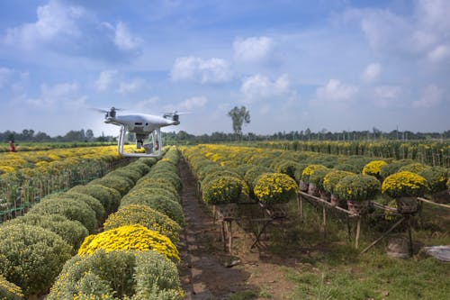
Drone mapping services can be easily scaled according to the size and scope of a project. Whether it’s monitoring a small construction site or mapping a large agricultural field, drone technology can be adjusted to meet the specific requirements of a business. However, this scalability ensures that businesses can leverage drone mapping services irrespective of their size or the scale of their operations.
Increased competitiveness:
In an increasingly digital world, businesses need to stay on top of technological advancements to remain competitive. Incorporating drone mapping services into business operations can provide a competitive edge. Besides this, the ability to quickly and accurately collect, analyze, and interpret data can significantly enhance productivity and efficiency. This, coupled with improved decision-making and risk management, can position a business ahead of its competitors.
Operational Safety:
Drone mapping greatly enhances operational safety. Drones can safely now operate drones in hazardous environments or extreme conditions where it might be dangerous for humans, such as disaster-stricken areas, high-altitude locations, or chemically contaminated sites. Moreover, this can significantly reduce the risk of injuries and accidents.
Environmental Sustainability:
Drone mapping is a more environmentally friendly option compared to traditional surveying methods. Drones emit less carbon compared to manned aircraft or ground vehicles used for data collection, thereby reducing the carbon footprint of operations. Furthermore, the precision of drone data can lead to more efficient use of resources, further lower costs, and contribute to sustainability.
Data Accessibility:
The data collected by drones can be easily accessed and shared across teams or departments in a business, improving collaboration and communication. With cloud-based platforms, stakeholders can view and analyze drone data from anywhere, enabling remote work and decision-making.
The Future of Drone Mapping and Business Insights
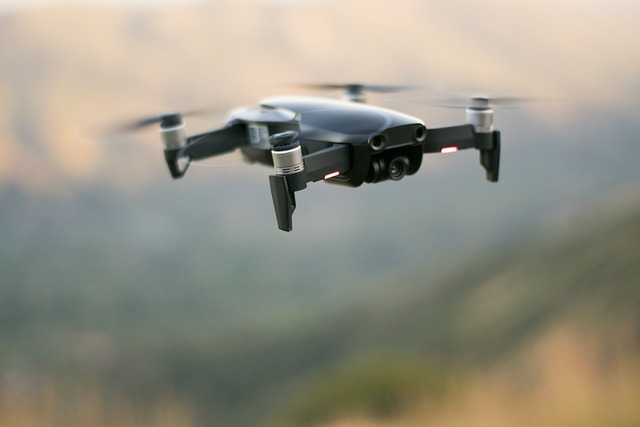
Drone mapping is a rapidly evolving field that has already significantly impacted various business sectors. Looking ahead, we can anticipate further advancements in drone technology and shifts in business strategies, driven by the increasing adoption and integration of drone mapping services. As we explore the future of drone use in mapping and its influence on business insights, it’s also important to consider the regulatory landscape that will inevitably shape the trajectory of drone usage.
Forecast of technological advancements in drone mapping
Drone technology is advancing at a rapid pace. These advancements are likely to include improved data processing capabilities, autonomous drones, extended battery life, and enhanced sensor technology. As drone technology becomes more sophisticated, we can expect drones to capture more detailed and accurate data, improving the quality of insights available to businesses. We may also see the integration of artificial intelligence and machine learning in drone mapping services, which could enable real-time data analytics and predictive modeling.
Predicted changes in business strategies due to drone mapping
As drone mapping becomes more prevalent, it’s likely that we’ll see a shift in business strategies. Companies that adopt drone mapping technology can gain a competitive advantage, making it a key strategic consideration. Moreover, industries that haven’t traditionally used geospatial data may start to find ways to leverage drone mapping to optimize their operations. Moreover, as mapping and surveying drones allow for real-time data collection and analysis, businesses can become more agile and responsive, adapting their strategies based on up-to-date insights.
Conclusion
Drone mapping services are a groundbreaking technological advancement that is revolutionizing business operations across various industries. From enabling cost efficiencies and improved decision-making to enhancing risk management and competitiveness, the benefits of drone mapping services are compelling.
The vast applications of drone mapping services in fields such as construction, agriculture, real estate, and environmental conservation, among others, show its transformative potential. With continuing advancements in drone technology and changes in business strategies due to the integration of drone companies into these services, the future of drone mapping looks promising.
However, as we embrace this revolutionary technology, it’s crucial to navigate the regulatory landscape responsibly, ensuring that drone usage aligns with all relevant laws and regulations. As the drone industry evolves, staying informed and adaptable will be key to fully harnessing the potential of drone mapping services.
If you’re ready to explore how drone mapping services can revolutionize your business insights and find website visitors JR Resolutions is here to assist you. Our professional drone services can help you leverage this cutting-edge technology to transform your operations, make informed decisions, and stay competitive in your industry.
If you’re considering hiring qualified drone pilots to help harness the full potential of these services, we invite you to read our informative blog post on the subject. Reach out to JR Resolutions today and embark on your journey toward a future driven by insightful aerial data.
